Military Road of Georgia

Where empires marched and mountains surrender

Military Road of Georgia

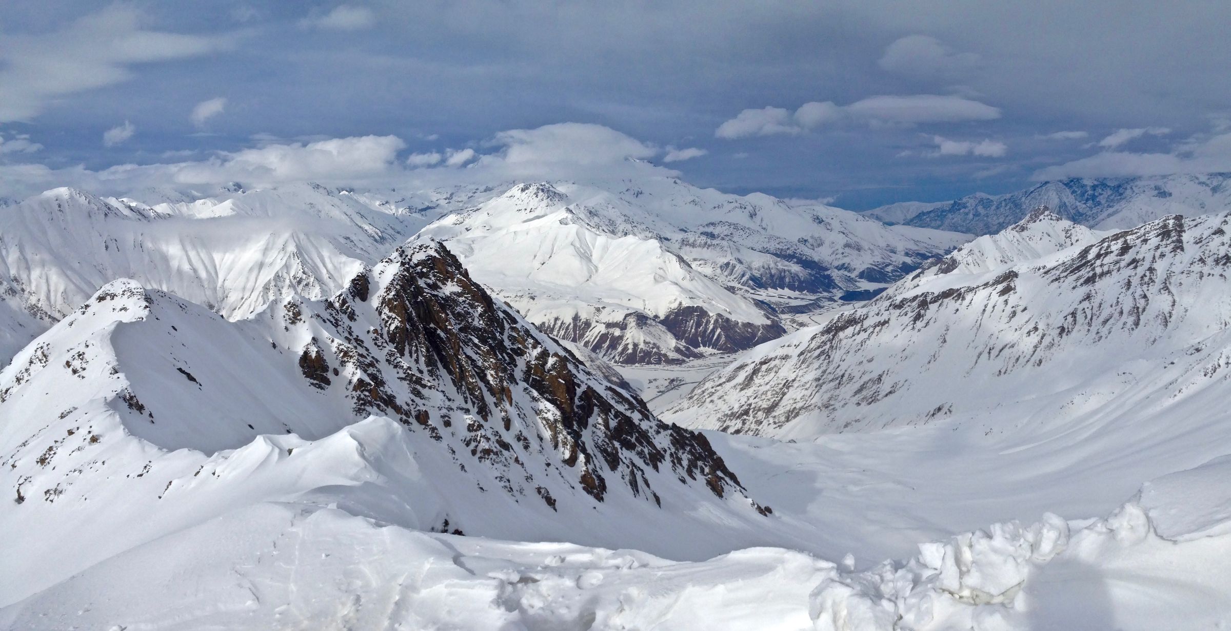
The Georgian Military Road is one of the world's great mountain highways, a 208km artery cleaved through the Caucasus since antiquity and formalized under the Russian Empire in the 19th century. It follows the route Darius I took to conquer Scythia, that Pompey used, that Russian troops fortified with stone watchtowers and bridges still standing. Beyond its martial name lies a corridor of living culture—Ossetian villages, shepherds' trails, and the Darial Gorge where the Terek River squeezes through a passage barely twenty meters wide. You drive not merely between Tbilisi and Vladikavkaz, but through the contested, layered history of Eurasia itself, where every switchback reveals another valley that time forgot.

On the ground See

  • Jvari Pass (2,379m) - the road's dramatic summit with views of Mount Kazbek and the glacier-capped peaks of the Greater Caucasus
  • Ananuri Fortress - 17th-century castle complex with two churches and crenellated towers perched above the Aragvi River reservoir
  • Darial Gorge - the narrow 'Gates of the Alans' with the 14th-century Gergeti Trinity Church visible on its mountainside perch above Kazbegi village

Practical Know before you go

Best June-September; heavy snow closes high sections November-April; the full route requires Russian visa for North Ossetia, though most travelers turn around at Kazbegi.

Last reviewed 25 August 2026 · reviewed quarterly